Who I am and what I do
I am an innovative and ambitious PhD student with a growth focussed mindset. I have specialist skills in quantitative and geospatial data analysis, fieldwork, lab work and scientific communication.
As a scientist, I have gained invalubale experiences of project management, problem solving and inquisitive thinking.
During my research, I consistently challenge myself to develop my general and technical skillset so that I can apply my knowledge and expertise to variety of projects.
If you would like to know about my background, experience and previous projects that I have worked on, please scroll down.

From undergraduate to PhD,
Cardiff to Canada
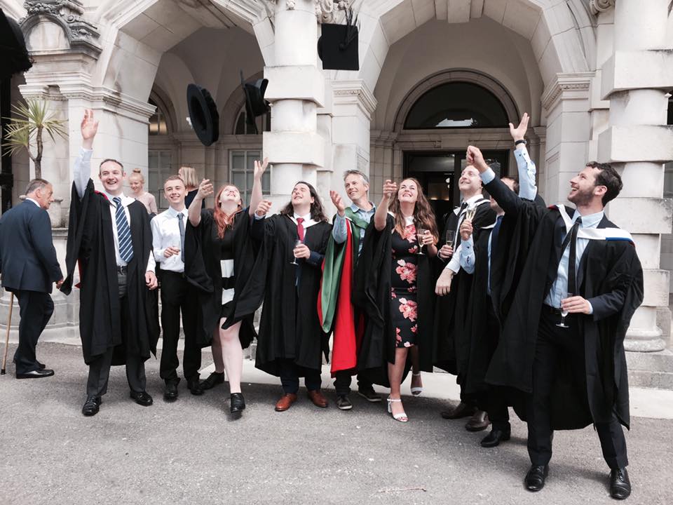
Undergraduate and Masters, Cardiff University
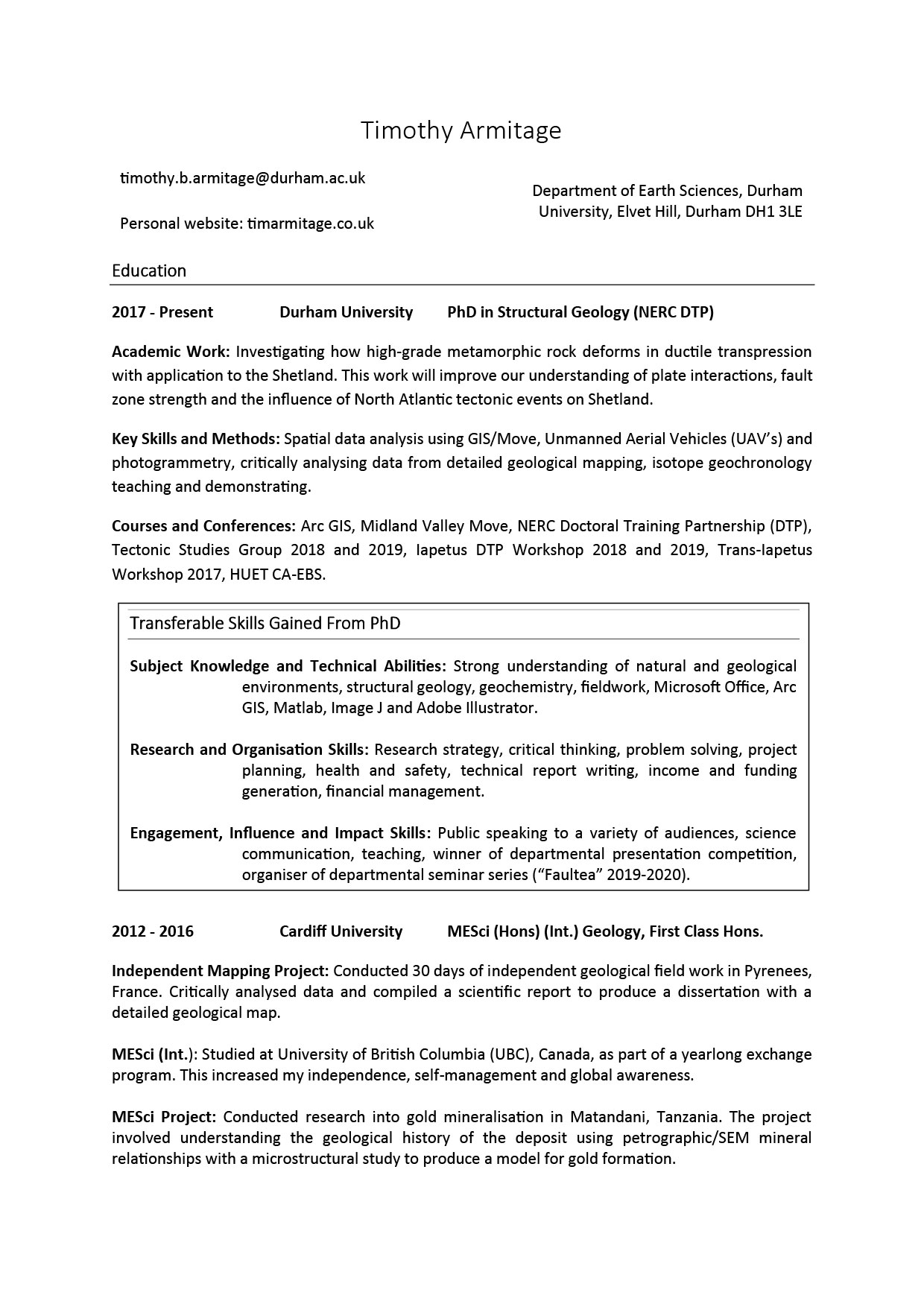
I achieved a first class intergrated undergraduate and masters degree from Cardiff University. I also was awarded the PESGB YP and Eliahou Dangoor scholarships for my academic achievements.
Here, I learnt to use ArcGIS and Adobe Illustrator to help me in my geological mapping disseration. For my mapping dissertation, I spent 30-days independenly mapping the L'Agly Massiff in the French Pyrenees.
For my masters thesis, I conducted research into mechanisms for gold mineralisation in Tanzania. For this study, I used quantitative and qualitative geochemistry and microscopy datasets to produce a conceptual model for gold formation.
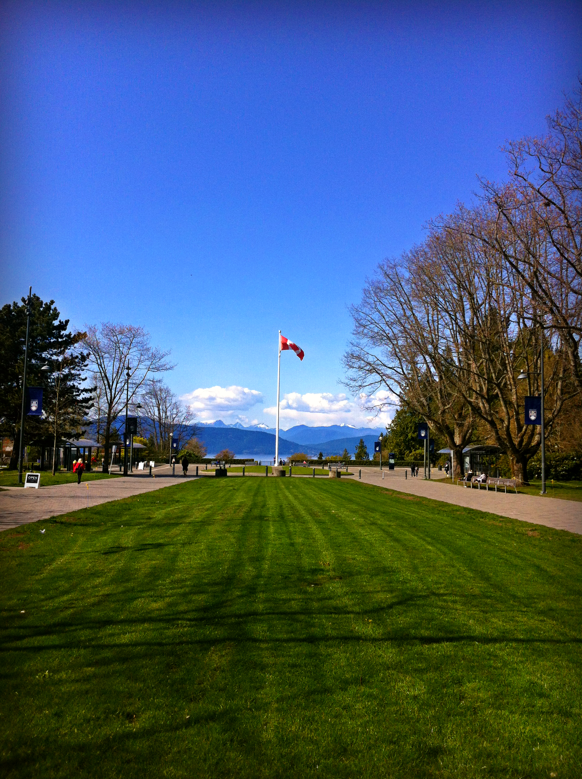
Internation exchange year, University of British Columbia (UBC), Canada
For my third year of undergraduate, I continued my studies on an exchange year at UBC.
Here, I increased my independence, self-management skills and gained invaluable international awareness and experience.
Between my third and fourth year studies, I was a research assistant with the Mineral Deposits Research Unit (MDRU) for UBC. In this role, I was involved with multiple geochemical and geophysical studies throughout British Columbia.
This gave me experience of resource exploration, scientific research and managing private sector stakeholders.
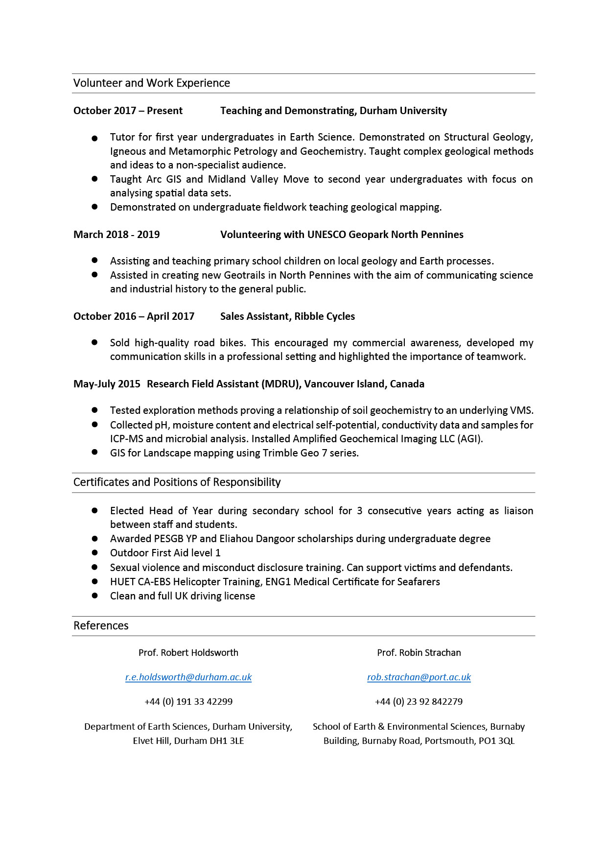
Earth Science PhD, Durham University
Currently, I am a Natural Environmental Research Council (NERC) funded doctoral student.
My research specialises in structural geology, where I investigate the tectonic development of mid-crustal faults with reference to Shetland in the UK. To achieve my research goals, I use fieldwork, laboratory analysis and microscopy to produce conceptual geological models. This has provided me with experience collecting and handling quantitative data, coding and project management.
During my PhD, I have developed my geospatial analytical skills by teaching myself novel digital mapping techniques, such as drone photogrammetry, Midland Valley's MOVE software and remote sensing.
I have presented my work at numerous conferences and demonstrated Earth Science teaching modules for undergraduates. I also organise the weekly departmental research group seminar, "Faultea". This has given me vast experience of communicating technical material to expert and non-expert audiences.
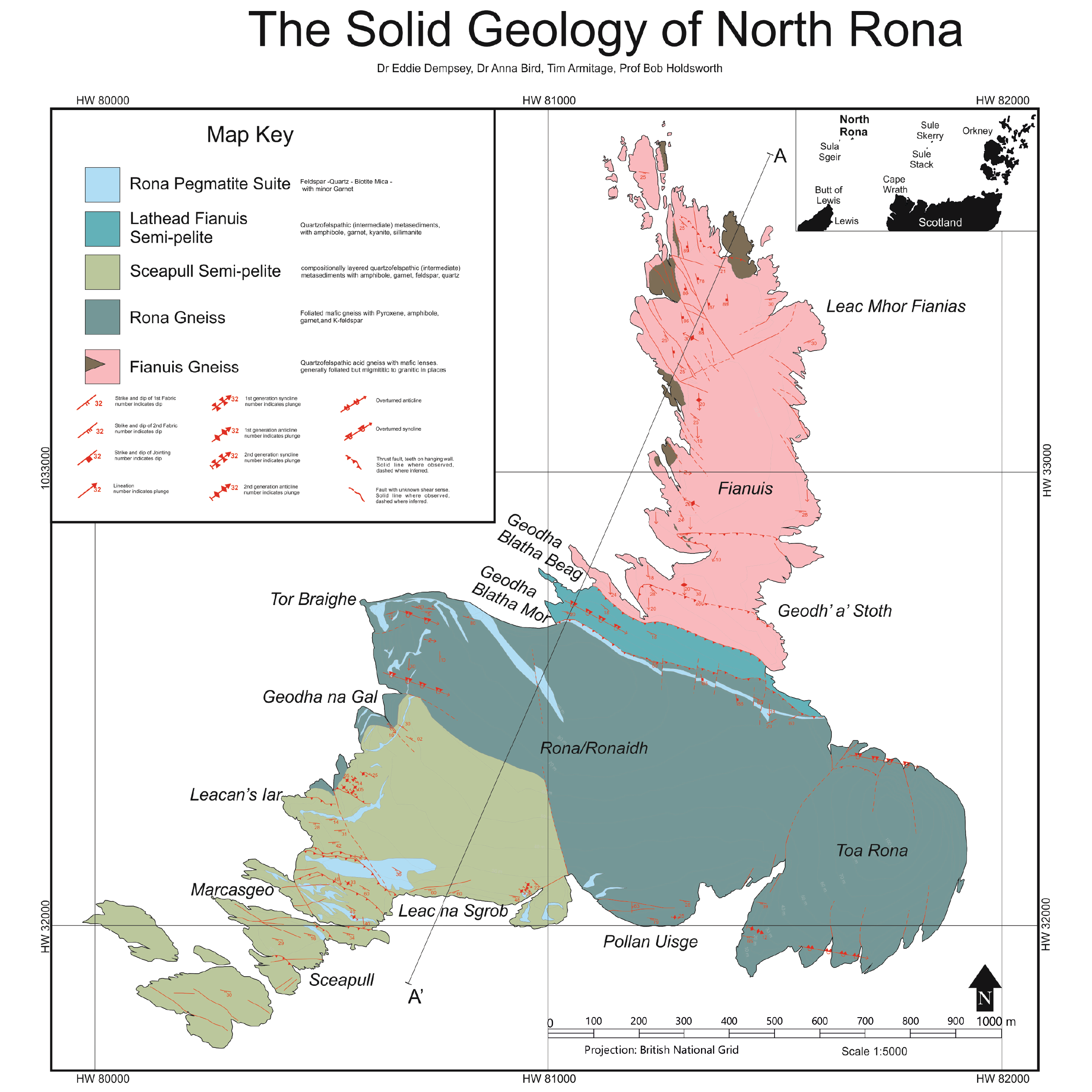
Exploring the Lonely Isle - North Rona
North Rona is part of a group of uninhabited (Lonely) islands 70 km north of mainland Scotland. Despite their regional geological significance, the last geological expedition to North Rona was over 70 years ago.
Using remote sensing and drone photogrammetry we were able to collect vast quantities of data before we set foot on the island. In conjunction with the Northern Lighthouse Board (NLB) stakeholder, we accessed North Rona via helicopter to ground truth our remote findings and collect samples for futher laboratory analysis. Overall, we have been able to constrain our model of ancient tectonic plate configurations and North Atlantic opening.
Key skills:
Fieldwork, laboratory analysis, drone photography, remote sensing, team work, project management
DETAILS BACK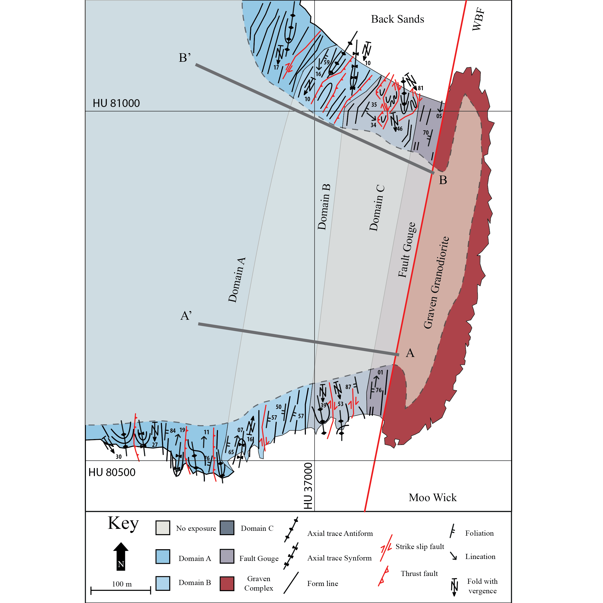
Academic paper - Armitage et al. 2021
The village of Ollaberry, Shetland, has one of the best exposures of a mid-crustal fault zone. Here, the Walls Boundary Fault complexly deforms the surrounding rock. The aim of my study was to explain the mechanics and processes of how the fault deforms the surrounding rock.
Initially, I used drone and aerial photography to assess the regional-scale geology. Fieldwork was then undertaken to measure orientations of specific structures and collect samples for laboratory microscopy. The study resulted in the publication of our conceptual-model in an international journal.
Key skills:
Fieldwork, laboratory analysis, drone photography, remote sensing, academic writing, project management
DETAILS BACK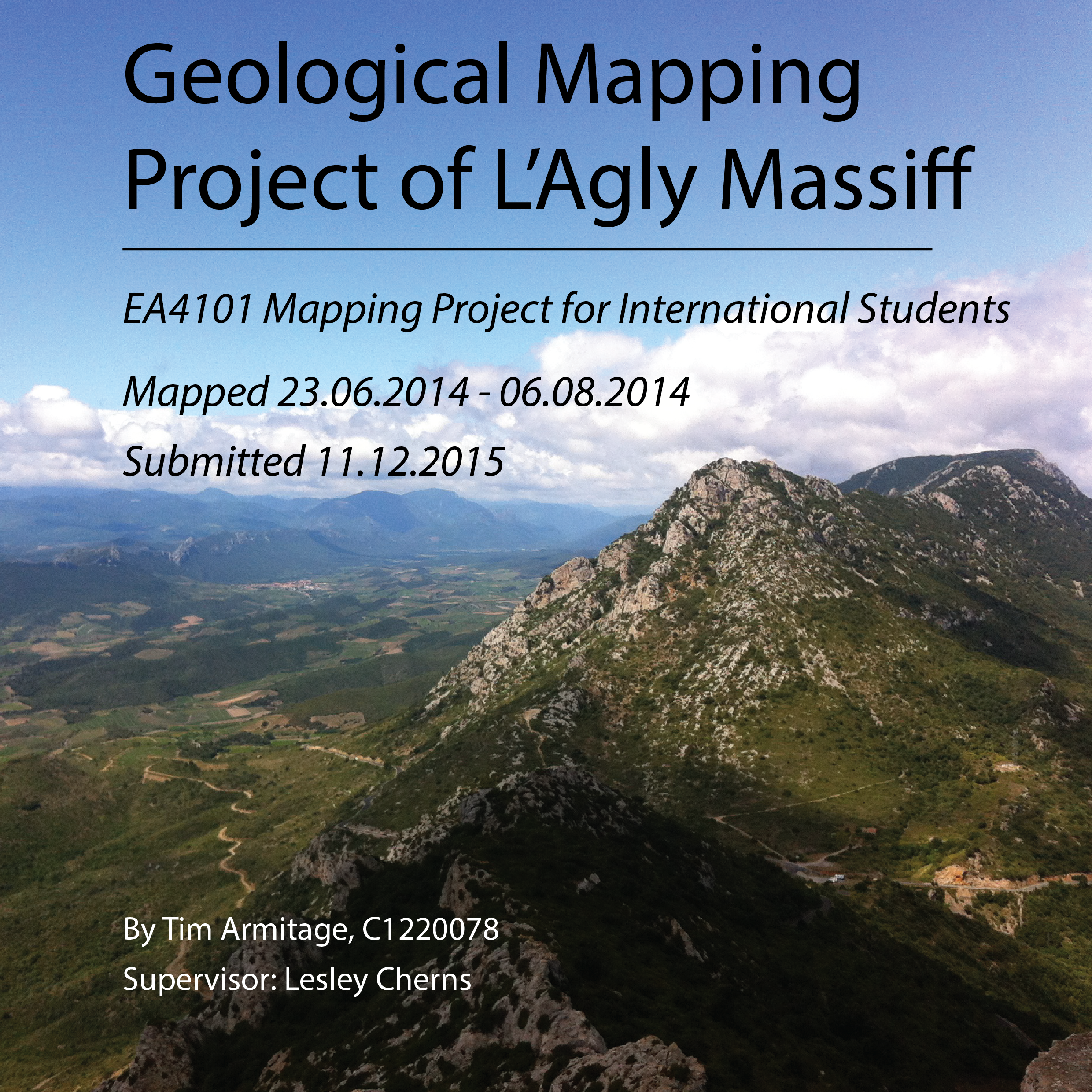
1st class undergraduate disertation
For my undergraduate dissertation, I geologically mapped the L'Agly Gneissic Dome in the Pyenees, southern France. Fieldwork was conducted over 30-days and was supported by the PESGB YP and Eliahou Dangoor scholarships.
In addition to my written dissertation on the geology of the L'Agly area, I produced a geological map, two cross sections and a stratigraphic log which were constructed on ArcGIS.
Key skills:
Fieldwork, academic writing, project management, independent work
DETAILS BACK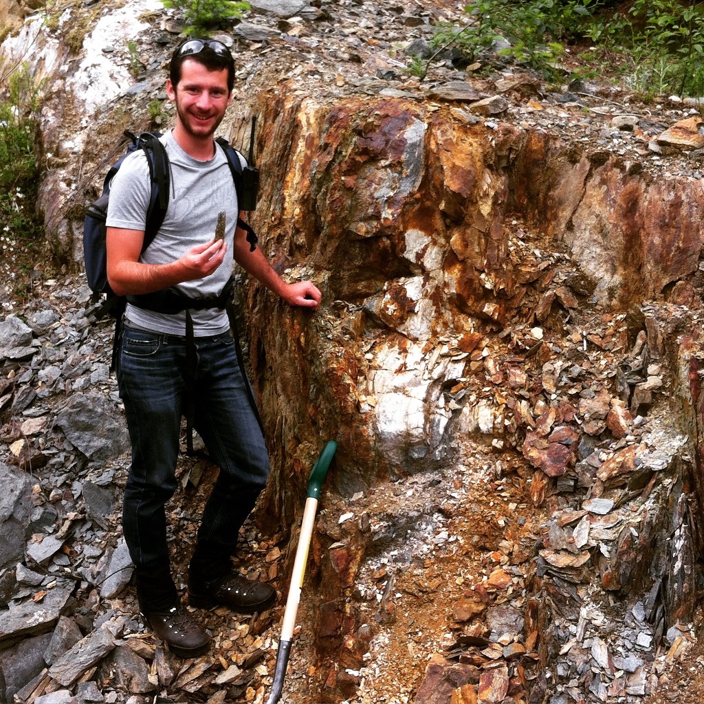
Geochemical and geophysical surveying - Vancouver Island, Canada
Top soil and glacial sediments typically conceal geochemical and geophysical exploration of gold and copper deposits in British Columbia, Canada.
As a field assistant, I helped organise and set-up experiments to refine gold and copper exploration by testing the electrical conductivity and geochemistry of soil and glacial sediments overlying known gold and copper deposits.
Key skills:
Fieldwork, geochemistry, geophysics, team work
DETAILS BACK
Scanning electron microscopy (SEM)
Understanding the composition and mineral orientation and textural relationships is crucial to discerning the history and properties of a rock. Using SEM and Electron Backscatter Diffraction (EBSD), I can quantitatively measure these properties.
SEM and EBSD analysis produces large data sets which can be filtered, analysed and plotted using scientific programming on MATLAB.
Key skills:
Laboratory analysis, coding, MATLAB, quantitative data analysis
DETAILS BACK
Geochronology
Rocks are typically dated using isotope decay systems. In this, unstable isotopes and their product daughter isotopes are measured relative to a similar stable isotope. Knowing the decay constant for this relationship can produce a geological age.
Using samples collected from Shetland, I measured Rb and Sr isotopes under laser ablation mass spectrometry (LA-ICP-MS) to date the age of metamorphism for rocks on northwest Shetland. These results allowed me to constrain the geological age of formation for Shetland and improve our understanding of the geology of the North Atlantic.
Key skills:
Laboratory analysis, quantitative data analysis, geochemistry, project management
DETAILS BACK
TimArmitage.co.uk
Communication is a key skill for scientists to relay their findings to colleagues and the general public. I plan to grow my understanding of new technologies to be able to effectively do this, including producing my own website.
Having self-taught HMTL, I aim to slowly build and add to my website while also growing my expertise in coding and digital communication. This will include the latest updates on my research, essays and conferences.
Key skills:
Coding, HTML, CSS, project management, communication, creativity
DETAILS BACK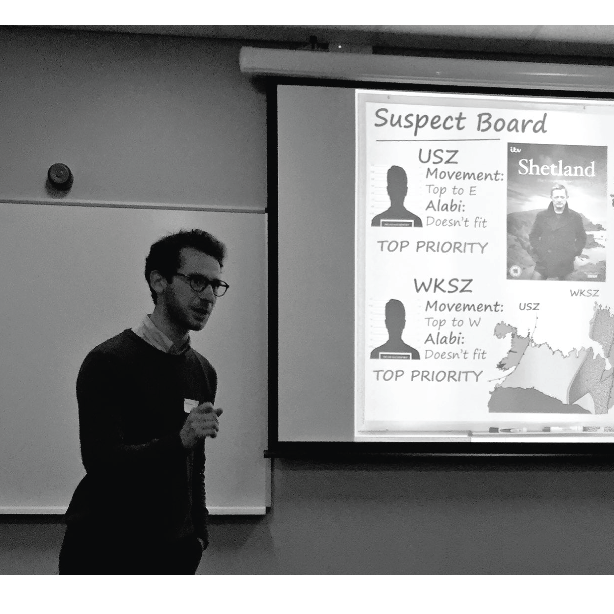
Events and conferences
Communicating complex ideas to a variety of audiences is a fun and essential part of a scientists job. This is typially done through conferences and presentations.
During my PhD, I have attended many national and international conferences, including TSG (2018-2020), Iapetus (2017) and Iapetus DTP (2019).
I also manage the Structural Geology Research Group ("Faultea") which is an internal lunchtime seminar series, and have assisted in organising the Departmental of Earth Science conference (2018).
Key skills:
Communication, presentation, leadership, project management, creativity
DETAILS BACK
Volunteering with North Pennines Geopark
UNESCO Geoparks are protected areas international geological significance which aim to educate and develop their local communities. I have worked and volunteered with two such geoparks, the North Pennines Area of Outstanding Natural Beauty (AONB) and the Shetland Amenity Trust.
During my volunteering, I have assisted in teaching primary school-aged children Earth science and local geology of the North Pennines.
I also assisted in creating guided walks (Geotrails) which aim to communicate science and industrial heritage to the general public in the North Pennines.
Key skills:
Communication, presentation, volunteering, team work, creativity
DETAILS BACK